Our Services
Forensic Mapping
Forensic Crash Mapping in Pennsylvania and Mid Atlantic Region
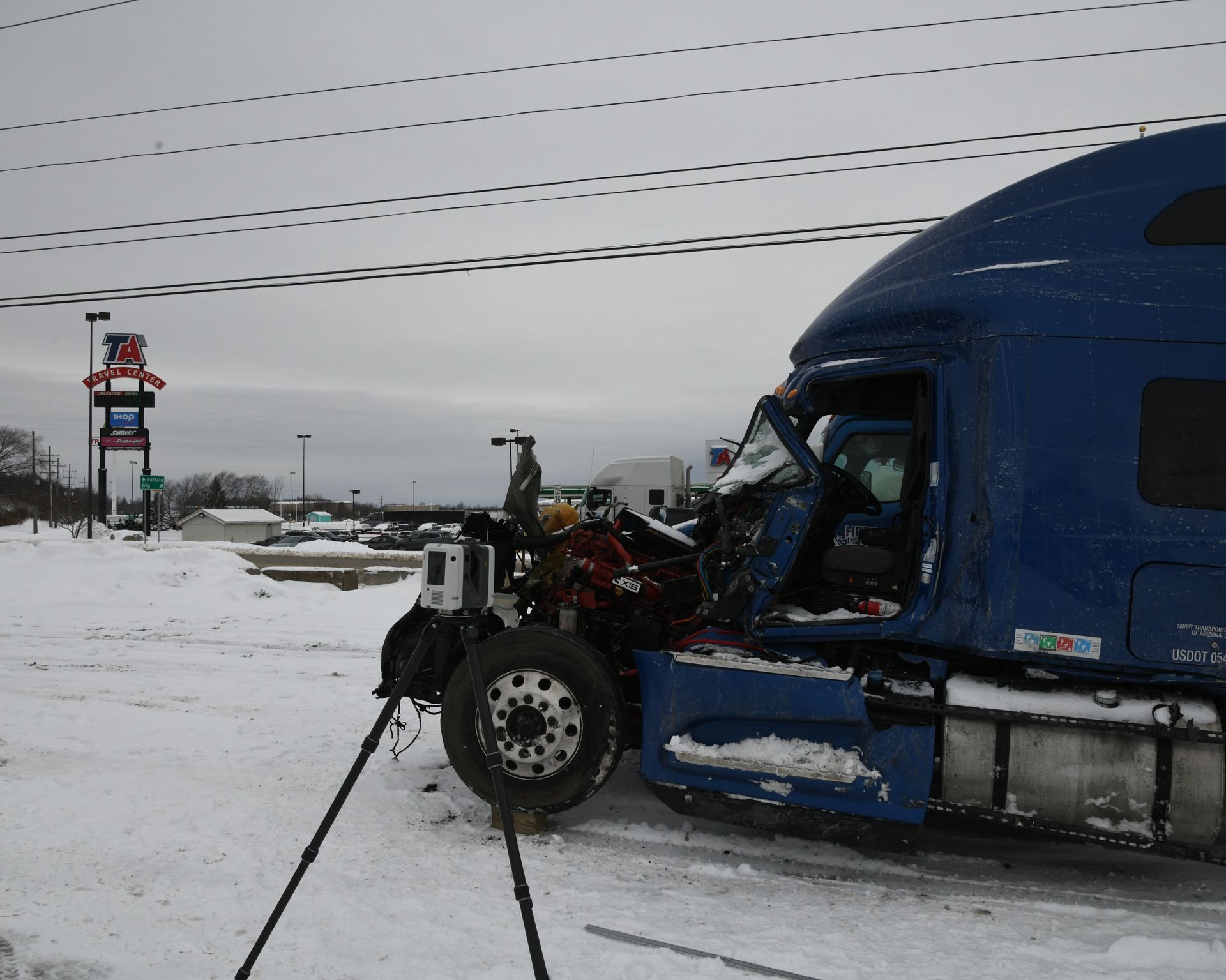
Forensic mapping utilizes detailed documentation of a scene using a 3D Laser scanner, UAV/drones and Global Navigation Satellite System (GNSS). This allows scale documentation of a crash scene showing potential evidence which can include physical evidence, final rest location of vehicles and possible obstructions.
Point clouds are 3-D generated models which can include crash scenes and vehicle documentation from Drone Mapping and Laser Scanning. These point clouds contain millions of points and measurements which allow PCARS professionals to perform in depth analysis of crash scenes and provide demonstrative evidence for trial.
Our professionals are FAA Part 107 licensed remote pilots.